%20(1).webp)
Turning data into clear, reliable information.
01
Our Solutions
Turning Offshore Data into Reliable Decisions
Innovative marine geophysical data processing and interpretation services tailored for the highest industry standards.
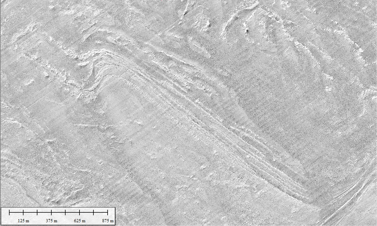
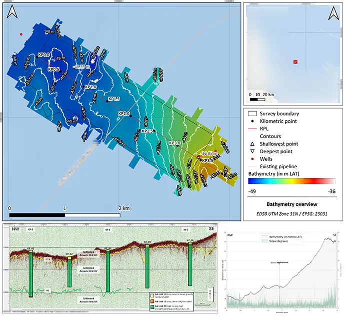
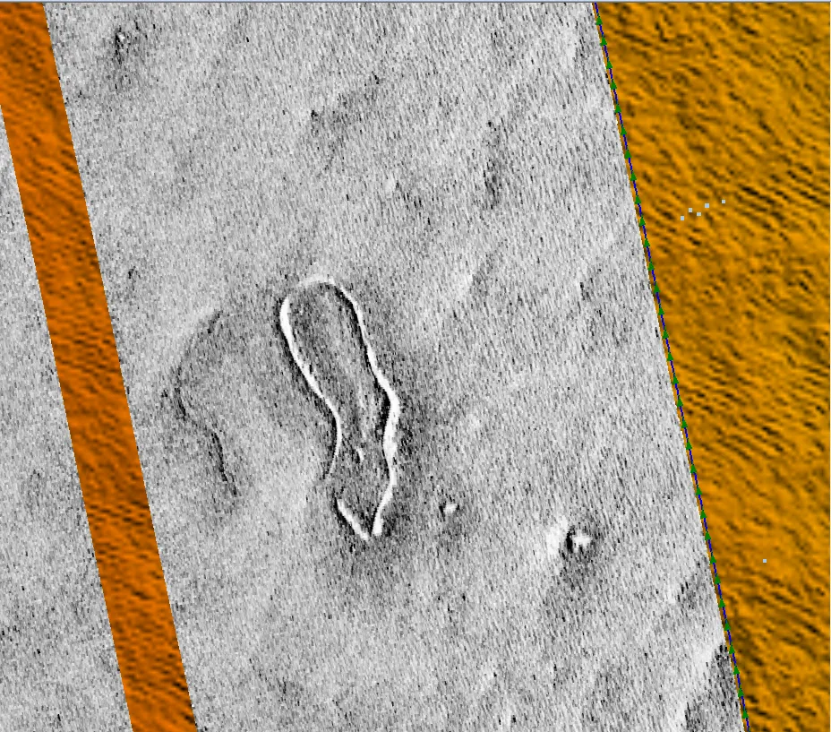
Expert processing and geological interpretation of MBES, SSS, SBP, and MAG data, delivering high-resolution seafloor mapping and sub-seabed insights.
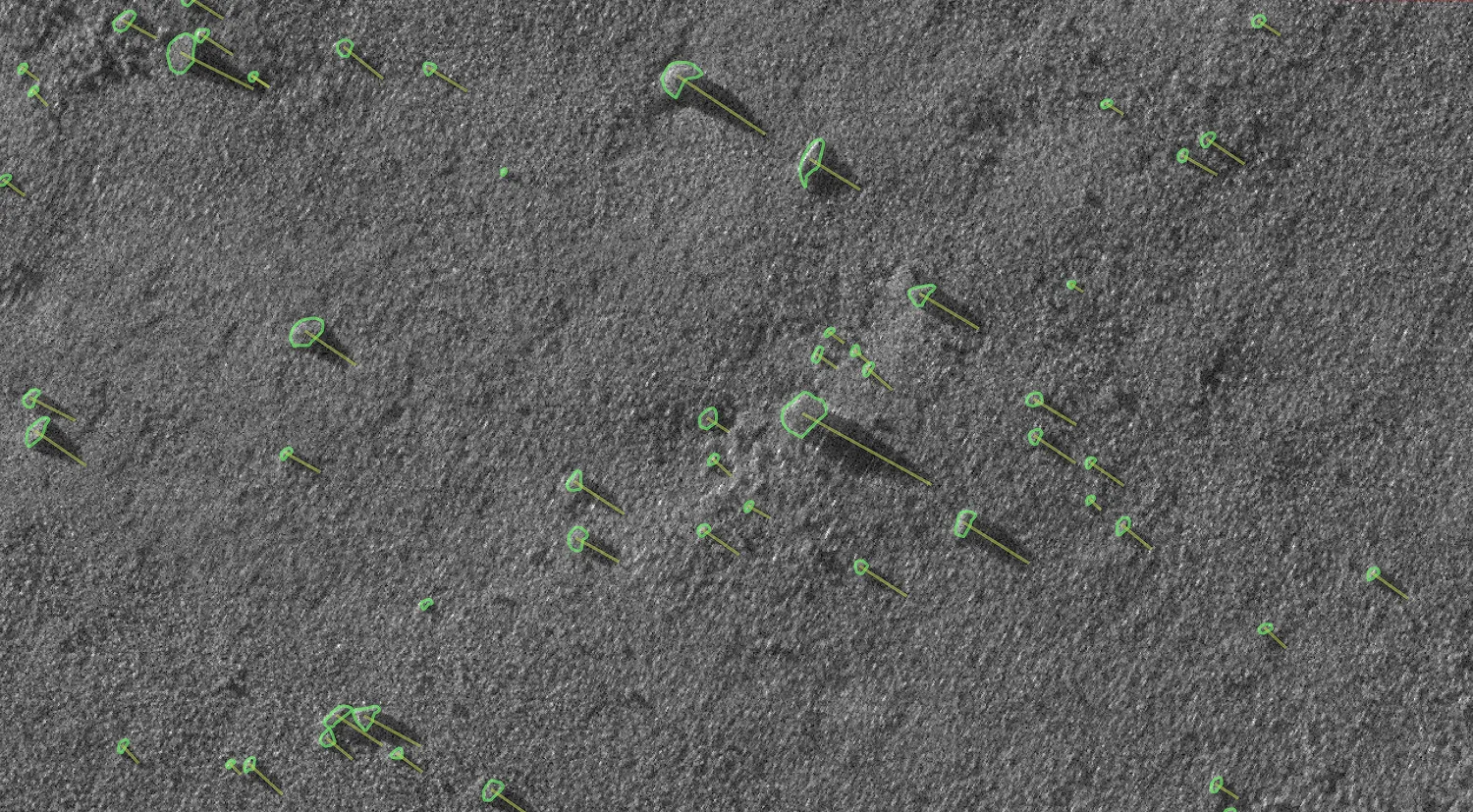
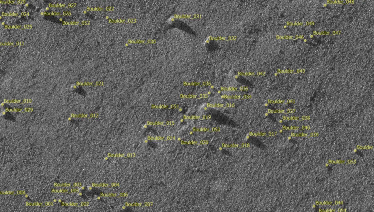
High-performance Python-based scripts and over 200 custom solutions, including world-leading automated boulder detection from MBES, SSS, SAS and MAG data, designed to accelerate workflows while maintaining peak precision.
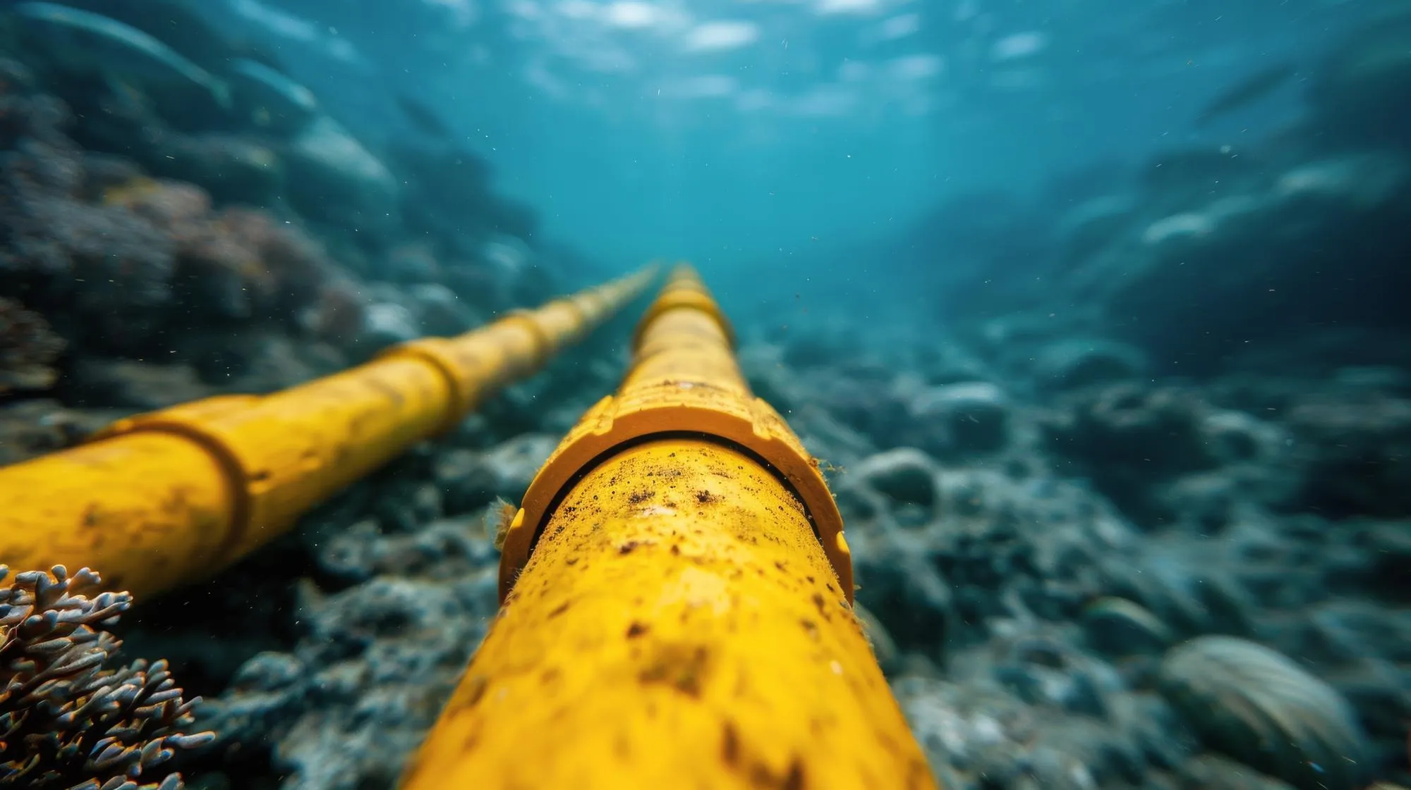
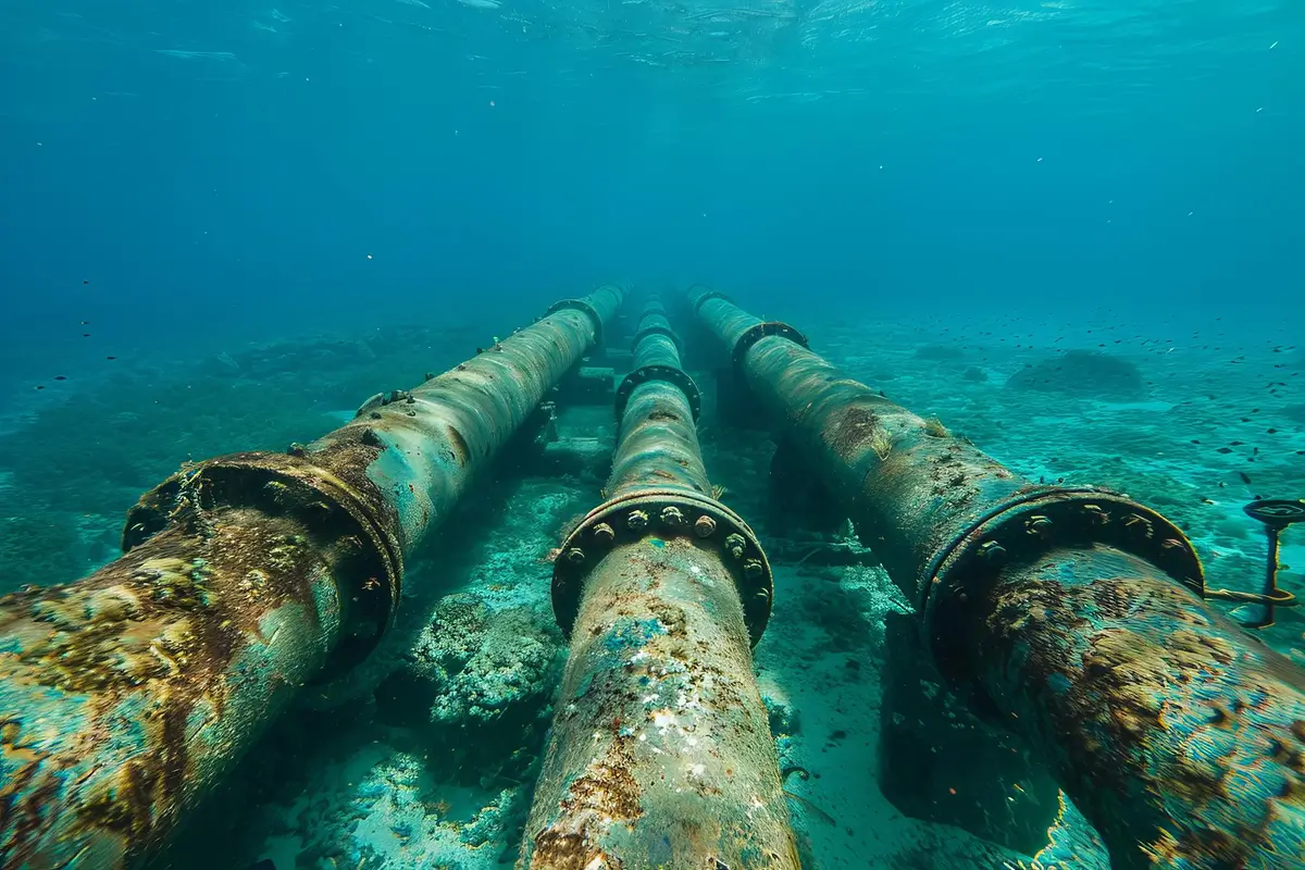
End-to-end data solutions for dredging, cable laying, and infrastructure monitoring, ensuring safe and efficient execution throughout every stage of offshore construction.

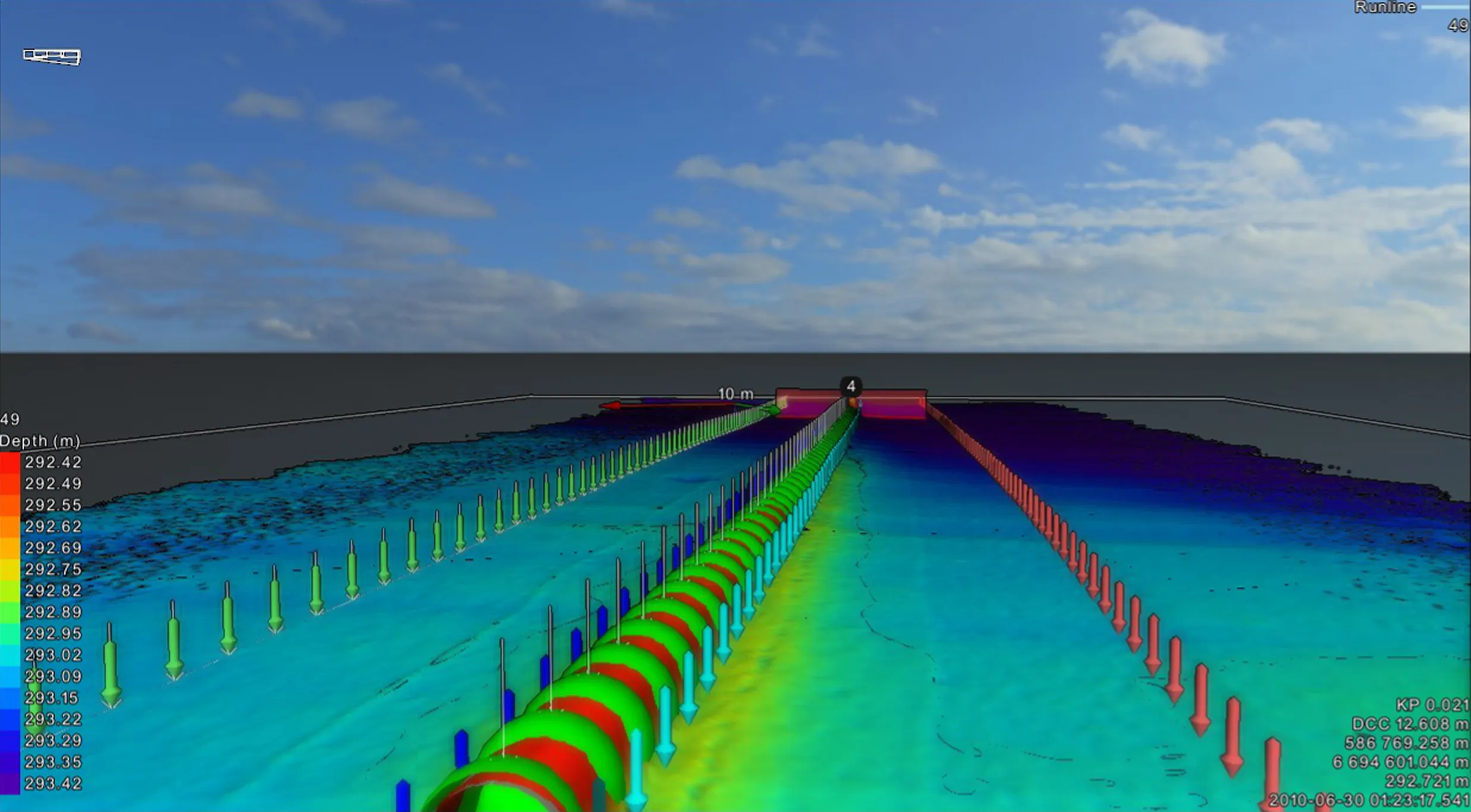
Advanced spatial analysis and precision charting that transform complex geophysical data into actionable insights and IHO-standard deliverables for informed decision-making.
Strategic expert consulting and comprehensive technical reporting tailored to all project phases, providing the clarity and documentation needed for successful project delivery.
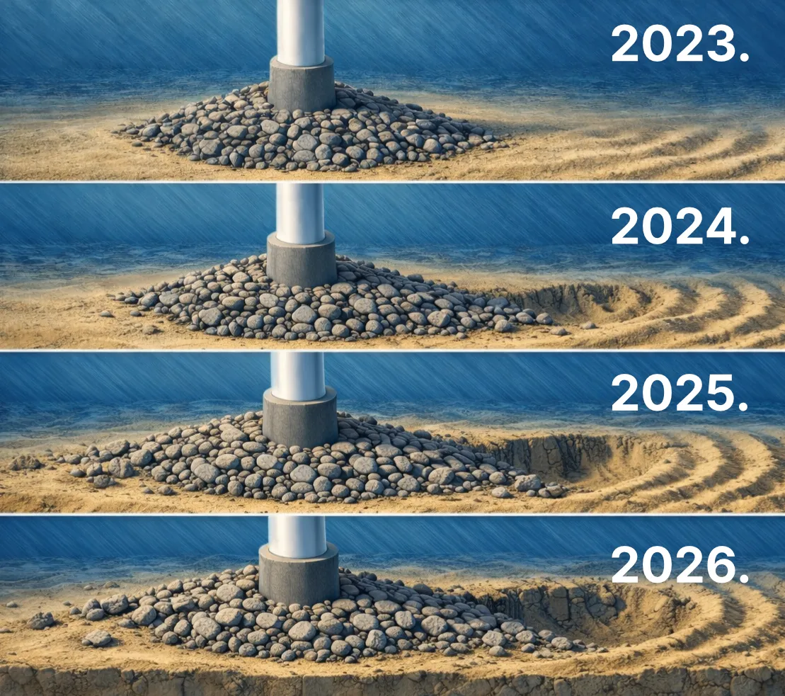
In-depth assessment of subsea hazards and long-term seabed stability to mitigate risks and optimize the operational lifespan of critical offshore assets.
Real-time remote survey support with integrated monitoring, quality control and deliverables production.
We extend our expertise from the seabed to space, applying Earth Observation to solve complex coastal, marine and land challenges. By fusing EO data with our proprietary geophysical archives and automated processing frameworks, we provide insights that neither ground-truth surveys nor satellite data alone can deliver.
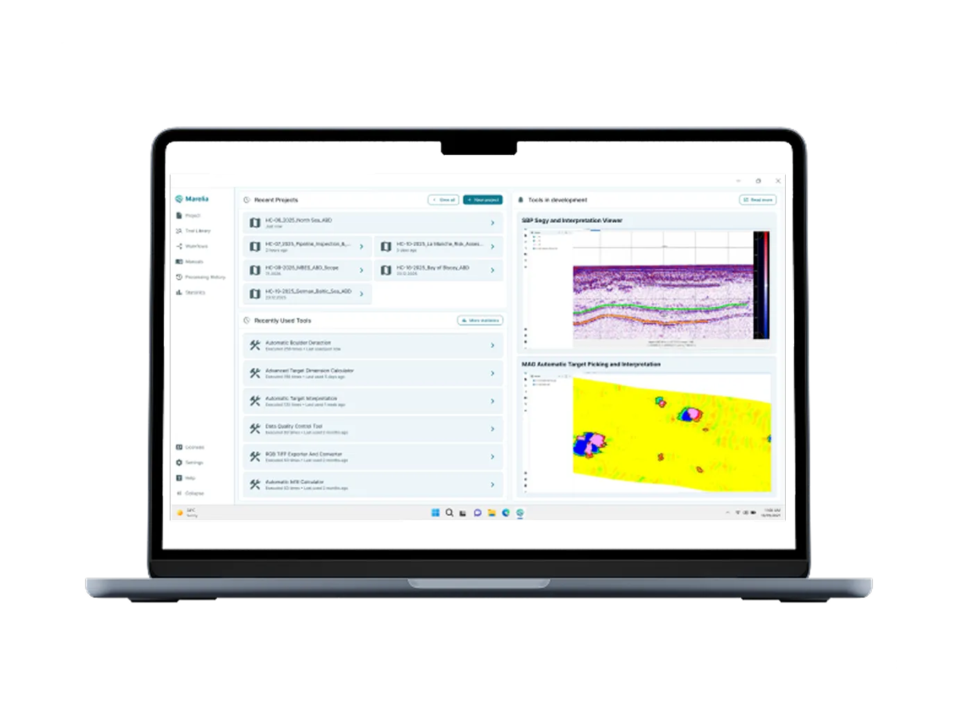
Automation Platform
Your automation engine for the entire processing pipeline.
Proven Success Across the Globe
We have a proven track record of delivering high-quality geophysical data processing for a wide range of offshore projects.
%201.webp)
Offshore Windfarm Projects
70+
Projects successfully completed across the UK, France, Belgium, Netherlands, Denmark, and Germany

Oil & Gas Projects
20+
Geophysical and seismic projects, where we provided data support, including pipeline surveys and offshore site exploration.

Marine geophysical and construction projects
100+
Projects in hydrography, dredging, cable laying, and other offshore construction activities.


We are more than a data processing center. We are your trusted partner throughout the entire project lifecycle.
Our partners
